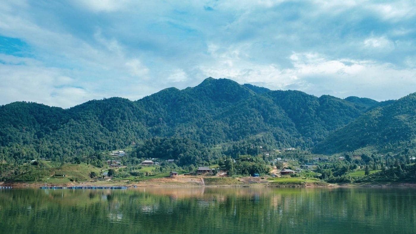
Seo My Ty is the reservoir of the Seo Chong Ho hydropower scheme, lying more than 1,600 m above sea level in the Hoang Lien forest above Ta Van village. The road up is steep with tight bends and visitors are few, so it suits people who enjoy empty roads and will turn back if the weather closes in.
Overview
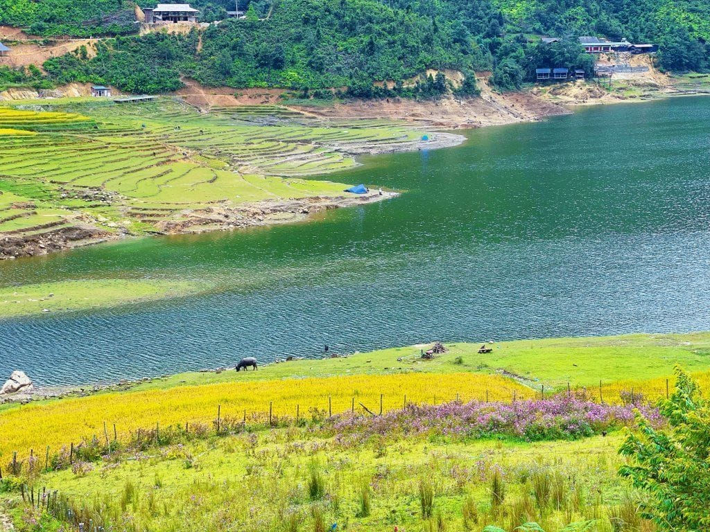
The lake covers about 60 hectares, cupped between slopes inside Hoang Lien National Park. On its shore is the Hmong hamlet of Seo My Ty. Vietnamese media like to call it the “lake above the clouds” and describe it as the highest man-made lake in Vietnam.
No amusement area, no strip of cafés – you come for the road, the cold air and the quiet.
The story of the lake
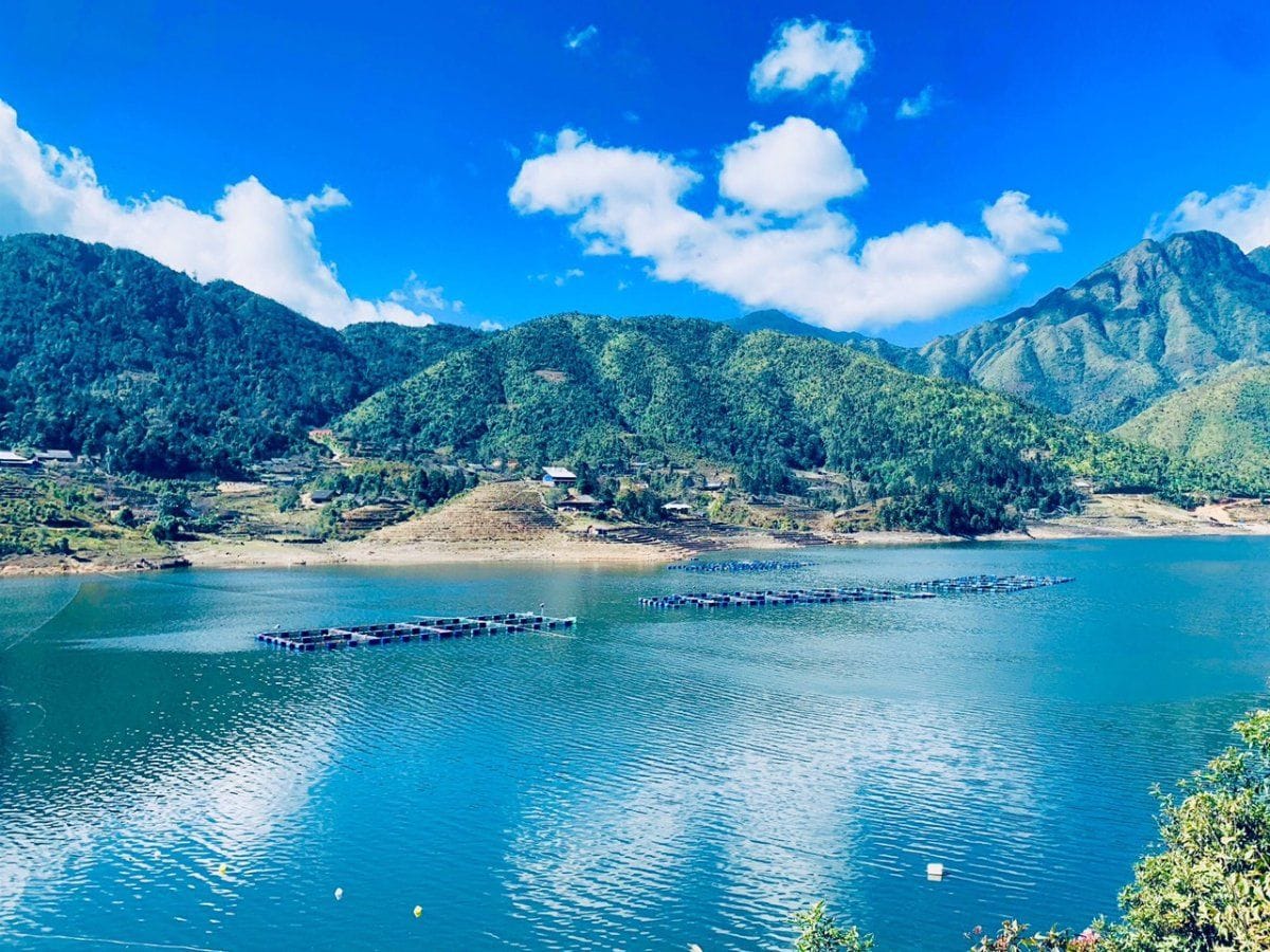
The lake was created when a dam was built at Seo My Ty hamlet for the Seo Chong Ho hydropower plant. Construction began in 2008 and the plant was inaugurated on 14 March 2013 with a capacity of just over 20 MW. Water is piped down to a powerhouse in Ban Ho commune, a drop of more than 800 m that Nhan Dan newspaper described at the time as the highest head in the country.
That is why the lake has two names. OpenStreetMap labels it “Hồ Séo Chong Hô” (after the power plant) with “Hồ Séo Mý Tỷ” (after the hamlet) as the alternative name – the same body of water.
Getting there
The lake is about 22 km from Sun Plaza. Drive down Muong Hoa Valley to Ta Van (about 10.5 km), then climb a further 12 km or so of steep, winding road. According to Lao Cai's Department of Culture, Sports and Tourism, the Ta Van – Seo My Ty road was completed in 2021 and is now concrete.
- Motorbike: ride yourself only if you are used to mountain passes; a semi-automatic or manual bike copes better than a scooter.
- Car with driver: the safer choice if mountain roads are new to you; ask the driver to wait.
- Ask first: check road conditions with a homestay in Ta Van, especially after rain.
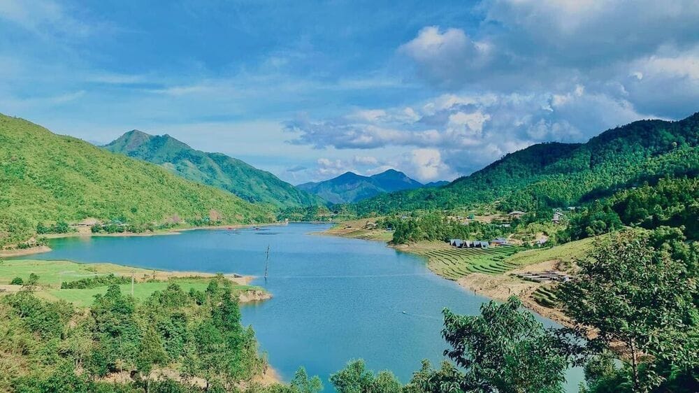
Photo spots & things to do
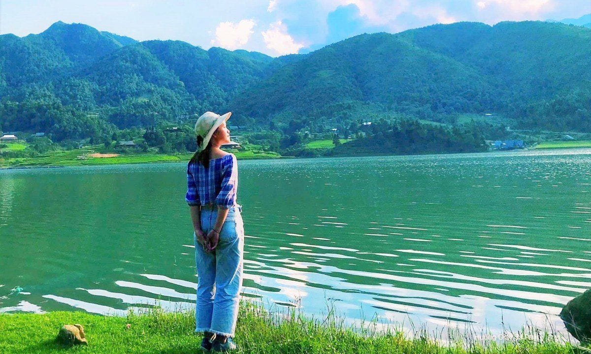
- Lakeshore and dam: still water reflecting the mountains, best early in the morning while cloud lingers.
- Seo My Ty hamlet: Hmong houses and fields around the lake; ask before photographing people.
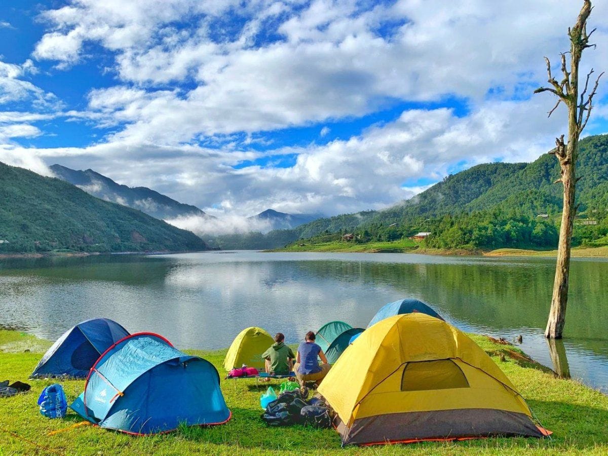
- Lakeside picnic: bring your own food and take your rubbish back out.
- Hoang Lien views: on a clear day the road up looks towards Fansipan.
Best time to visit
- October–December: autumn, sunny, dry and clear – the easiest road conditions and the longest views.
- December–March: cloud-hunting season, but foggy, very cold and drizzly; visibility can be very poor.
- July–August: the wettest months, with slippery roads – think twice.
Tips & safety
- Water quality: in November 2025 the newspaper Phap Luat Viet Nam reported pollution in the lake from fish-cage farming, and the authorities ordered the cages removed. Ask about current conditions; swimming is not advised.
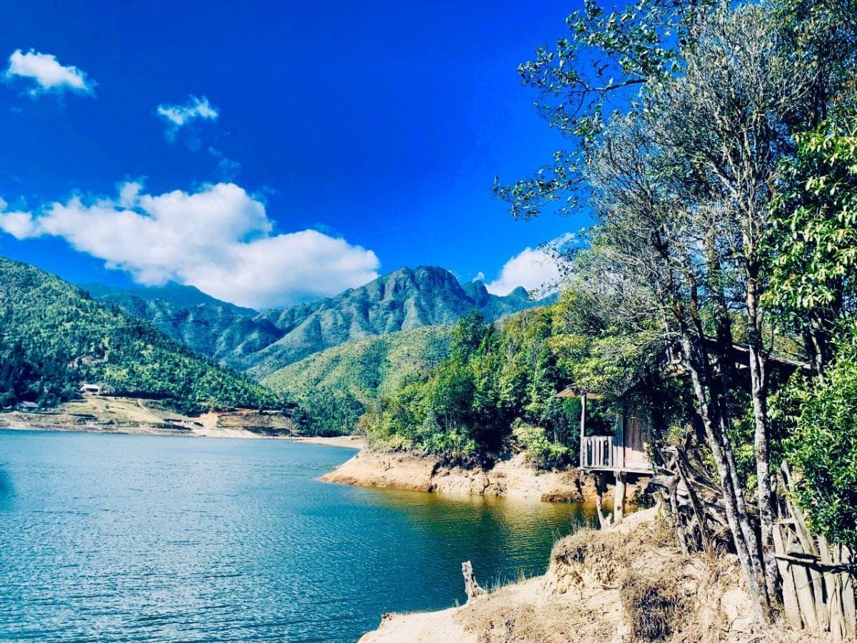
- This is a working hydropower reservoir: keep away from the intake and the dam structures.
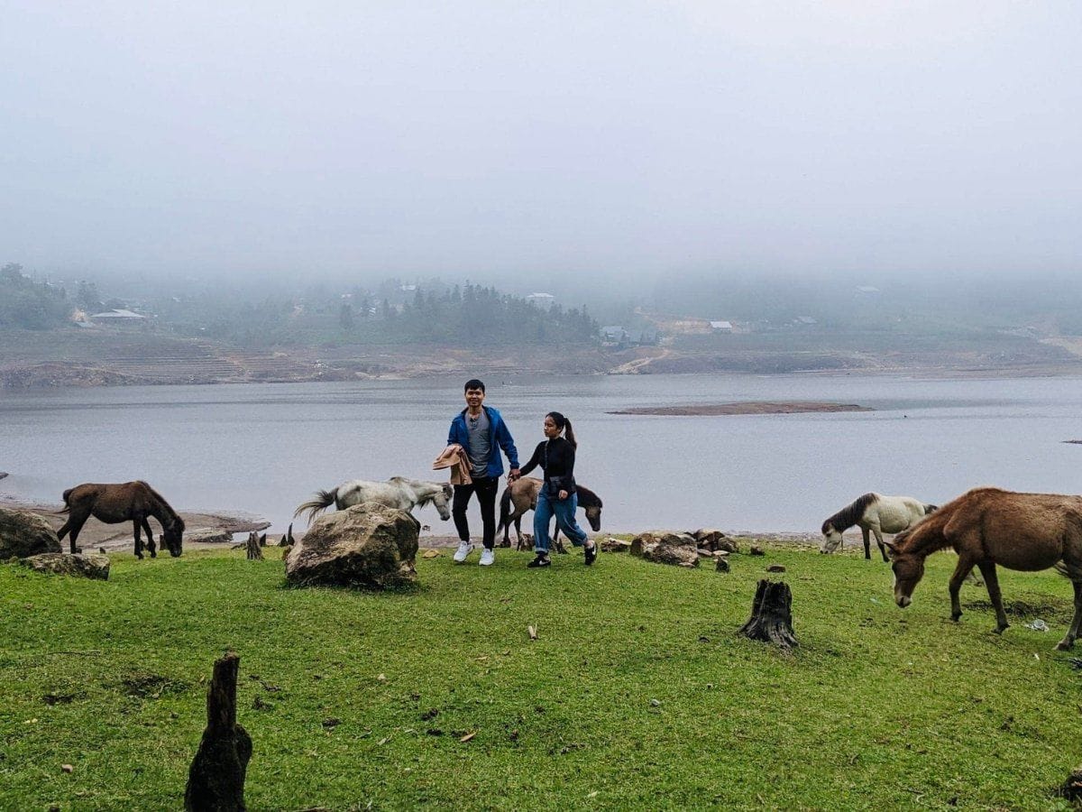
- Weather changes fast: bring a jacket and a light raincoat, and turn back if fog rolls in.
- Fill the tank and check brakes and tyres before leaving Ta Van; use a low gear on the way down.
- Carry water and snacks; phone signal can be patchy, so tell your accommodation where you are going.
Combine it in a day
The road to the lake turns off at Ta Van, so the natural plan is the lake in the morning while the sky is clear, back down to Ta Van for lunch, then Lao Chai or the ancient rock field in the afternoon. Ban Ho and its hot spring are on a different branch at the end of the valley – keep them for another day.
Add a paragliding flight
The road to the lake passes Sapa Paragliding's landing field at Lao Chai bridge (about 9.3 km from Sun Plaza) and then Ta Van. You can fly in the morning when the air is usually calmer, lunch in Ta Van, then ride up in the early afternoon if the sky is still clear.
The same weather decides both: on days too cloudy to fly, visibility on the lake road is usually poor as well.
Quick questions
Are Seo My Ty Lake and Seo Chong Ho Lake the same place?
Yes. Seo My Ty is the hamlet where the dam was built and Seo Chong Ho is the hydropower plant the lake feeds; OpenStreetMap lists both names for the same reservoir.
How far is the lake from Sapa?
About 22 km from Sun Plaza: 10.5 km down to Ta Van, then about 12 km of steep road up to the lake.
Is the road difficult?
It has been concrete since 2021 but is steep with tight bends. Ride a motorbike yourself only if you are used to mountain roads; otherwise hire a car with a driver.
Can I swim or camp at the lake?
We do not recommend swimming: it is a hydropower reservoir, the water is very cold and pollution was reported in late 2025. If you want to camp, ask the villagers first.
More photos