
Sapa Paragliding · Checkpoint map
Sapa travel map
An overview of Sapa's best-known places — from Sun Plaza, Fansipan and Cat Cat to Muong Hoa Valley, Silver Waterfall and O Quy Ho Pass — with the paragliding take-off and landing.
Tap a stop on the map for directions, photo spots and tips.
The stops
 1
1Town centre · Meeting point
Sun Plaza & Square
The heart of Sapa: funicular station, town square, stone church and the paragliding pick-up point.
Directions & photo spots →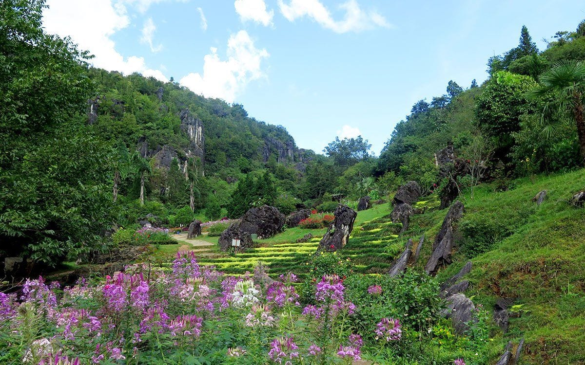 2
2Behind the stone church · On foot
Ham Rong Mountain
A limestone mountain beside the town centre: climb past gardens, a stone forest and Heaven's Gate to a view over Sapa.
Directions & photo spots →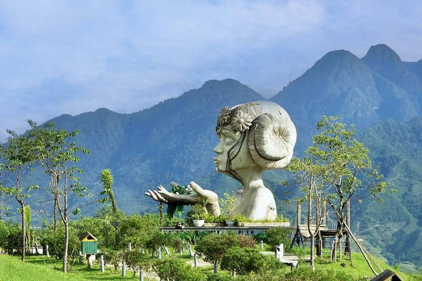 3
3Violet road · Photo park
Moana Sapa
A tropical-island-style photo park on Violet road, looking straight out over Muong Hoa Valley.
Directions & photo spots →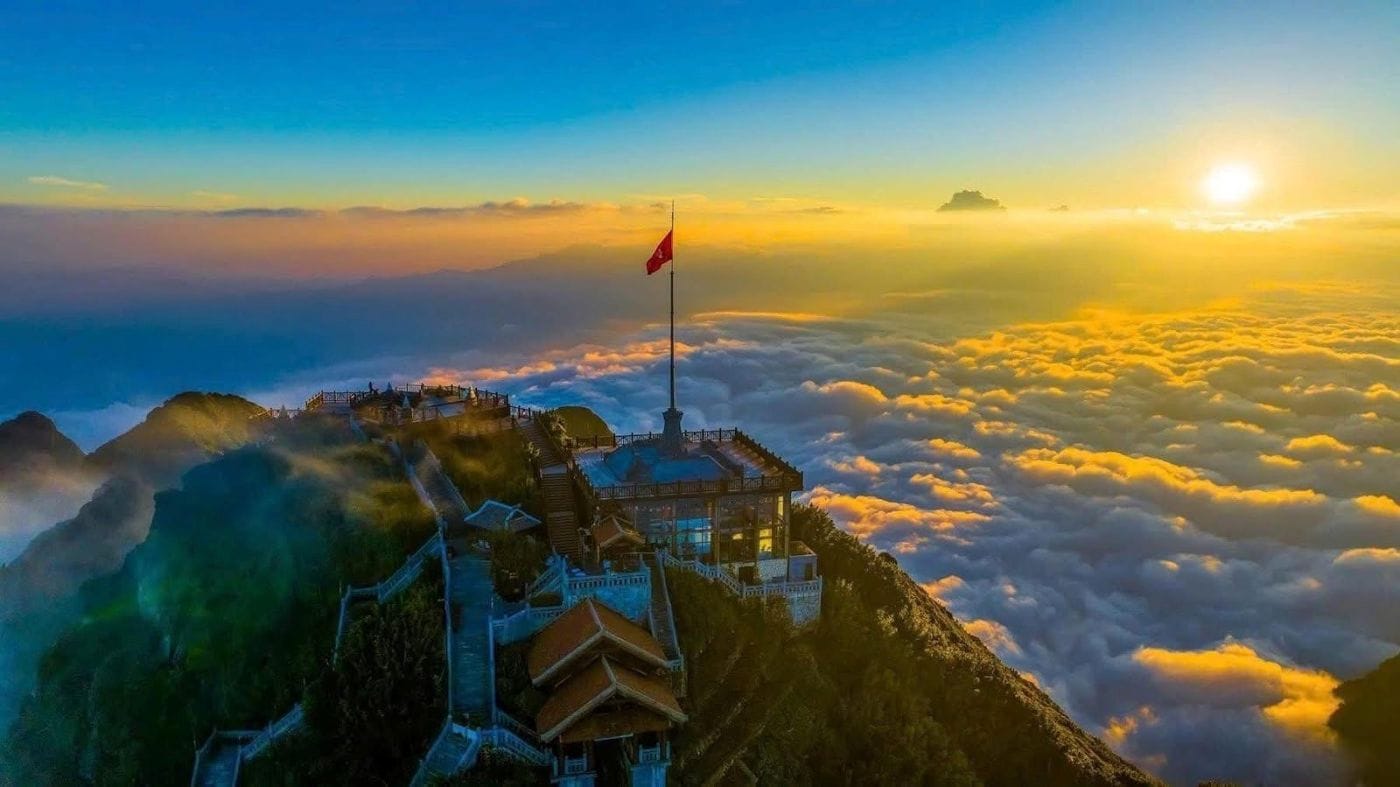 4
4Roof of Indochina · 3,143 m
Fansipan
Reach the Roof of Indochina by funicular and cable car from Sun Plaza, or trek 1–2 days from Tram Ton.
Directions & photo spots →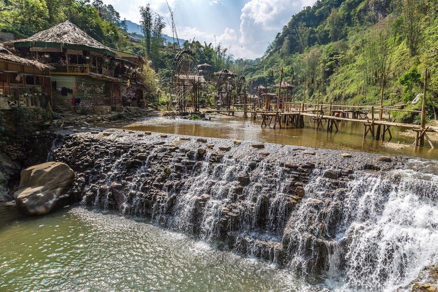 5
5Hmong village · Close to town
Cat Cat Village
The Hmong village closest to town: walk down a stone path past water wheels to Cat Cat waterfall.
Directions & photo spots →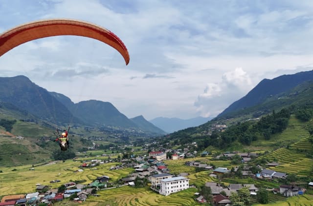 6Paragliding
Sapa Paragliding · Take-off
Hang Da Take-off
Where the flight begins: check-in counter, covered waiting area and a grass launch facing Muong Hoa Valley.
Directions & photo spots →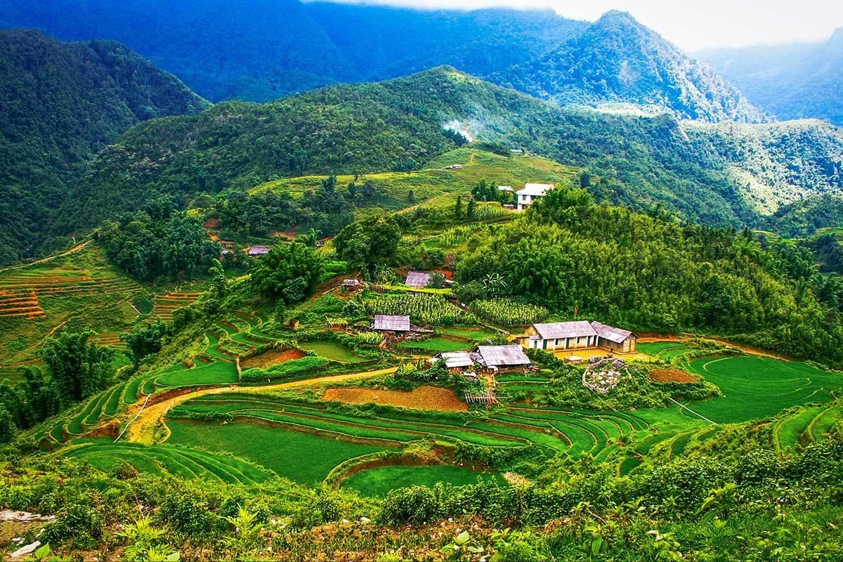 7Paragliding
Black Hmong village · Landing
Lao Chai Landing
A Black Hmong village on the floor of Muong Hoa Valley, where gliders land in the fields and the walk to Ta Van begins.
Directions & photo spots →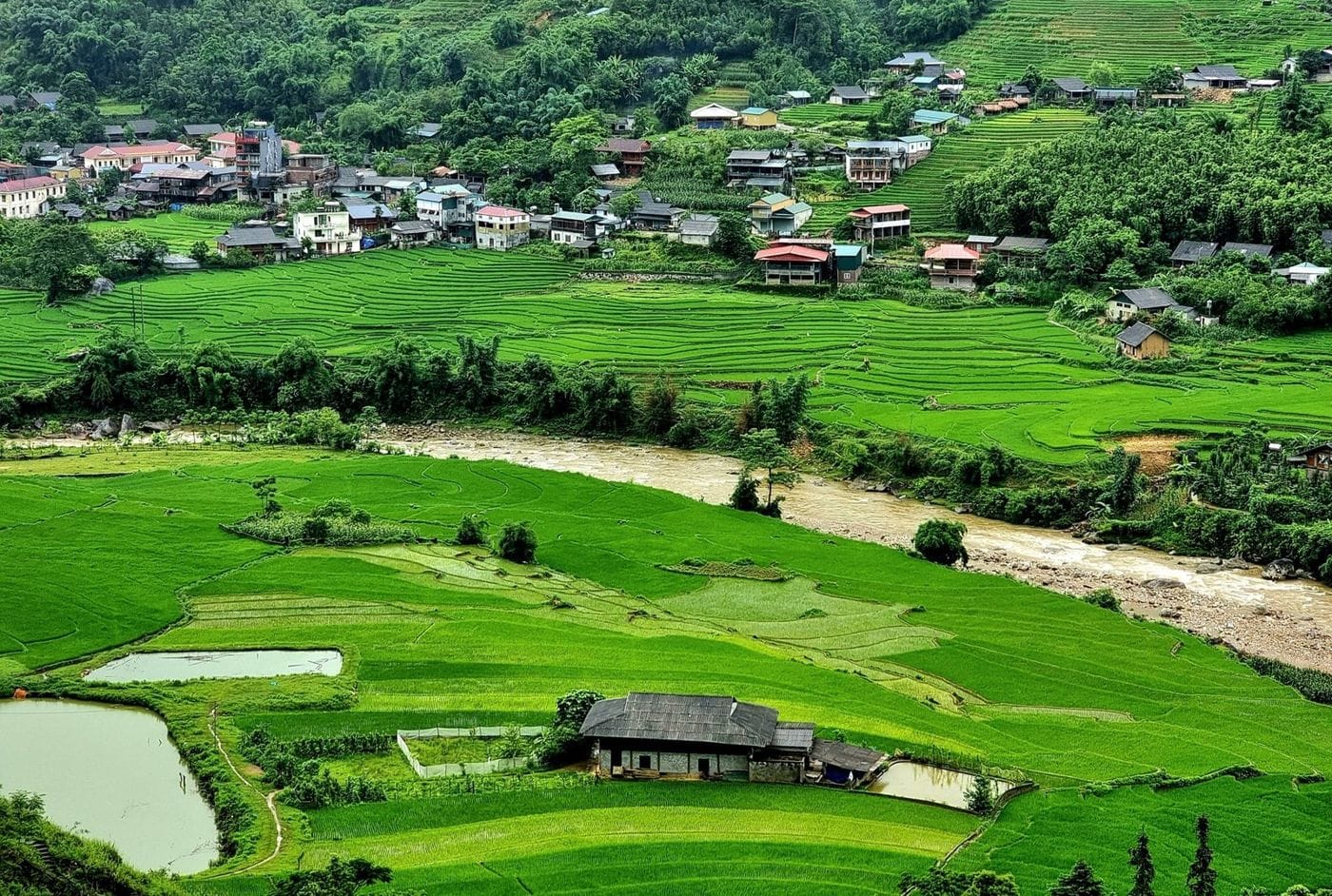 8
8Muong Hoa Valley · Village
Ta Van Village
A Giay village on the Muong Hoa stream: homestays, the ancient rock field nearby, and the usual end of the one-day trek.
Directions & photo spots → 9
9End of Muong Hoa Valley · Tay village
Ban Ho & Hot Spring
A Tay village at the far end of Muong Hoa Valley, with a hot mineral spring in Ban Den hamlet – the finish of the long trek.
Directions & photo spots →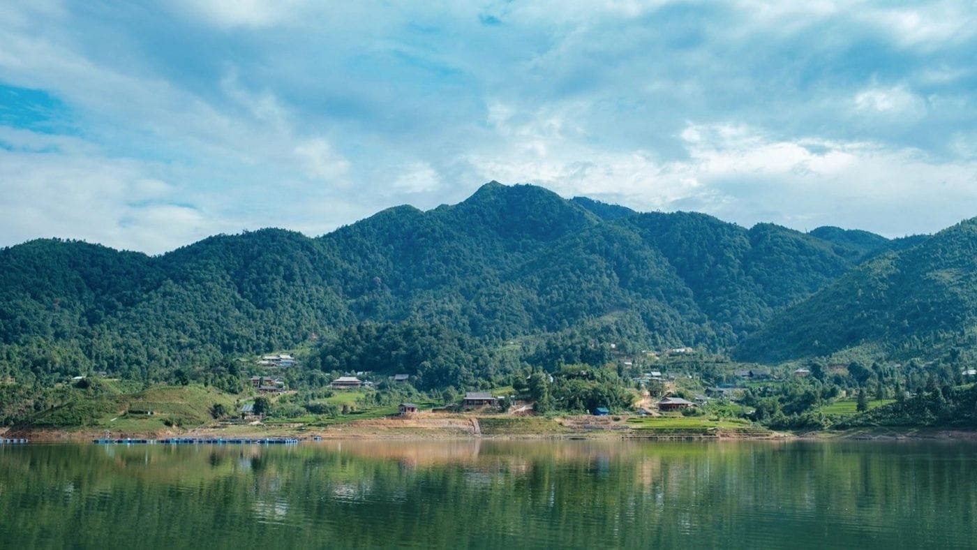 10
10Above Ta Van · Mountain lake
Seo My Ty Lake
A hydropower reservoir more than 1,600 m up above Ta Van, at the end of a steep, winding road – for confident riders.
Directions & photo spots →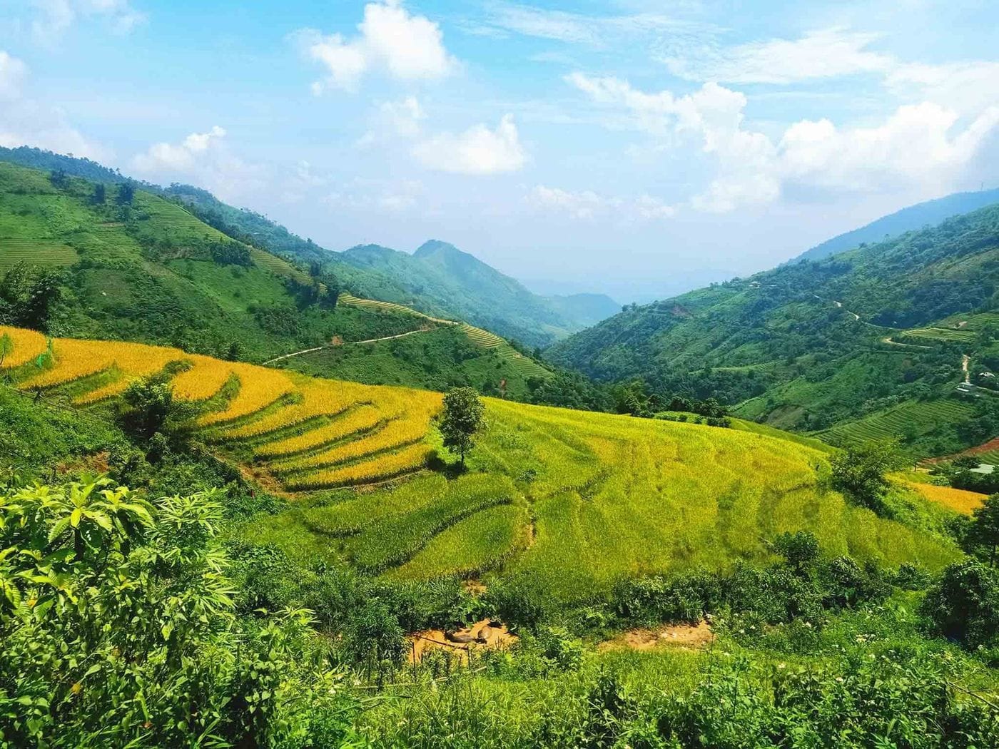 11
11North of town · Red Dao village
Ta Phin Village
A Red Dao village north of Sapa, known for hand-embroidered brocade, herbal baths and the ruins of a stone monastery.
Directions & photo spots →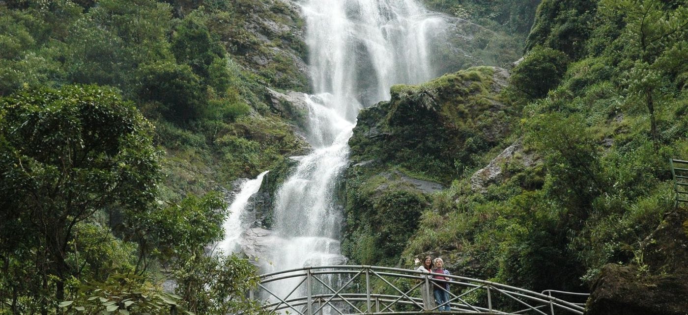 12
12Road QL4D · Waterfalls
Silver & Love Falls
Silver Waterfall sits beside road QL4D; Love Waterfall is a 30-minute forest walk into Hoang Lien – both on the same road.
Directions & photo spots → 13
13Road QL4D · Mountain pass & viewpoint
O Quy Ho Pass
A pass of nearly 50 km linking Lao Cai and Lai Chau across the Hoang Lien Son range – a place for sunsets and cloud seas.
Directions & photo spots →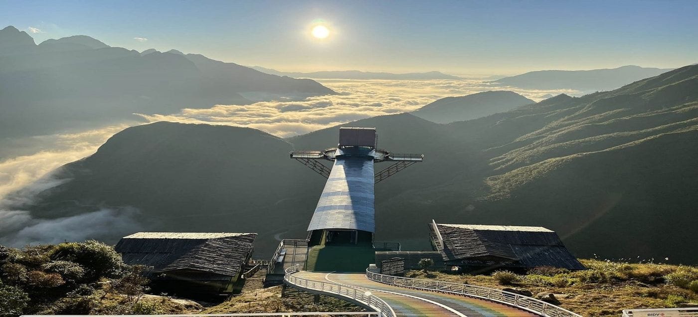 14
14O Quy Ho Pass · Glass bridge & thrill games
Rong May Glass Bridge
An outdoor glass lift takes you up to a glass walkway reaching out from the cliff at about 2,200 m.
Directions & photo spots →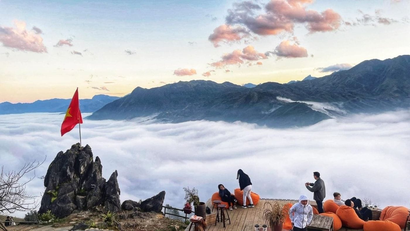 15
15Cau May ward · Viewpoint
Best View Sapa
A hillside check-in spot at about 1,600 m, looking down on Muong Hoa Valley and Ta Van, close to the paragliding take-off.
Directions & photo spots →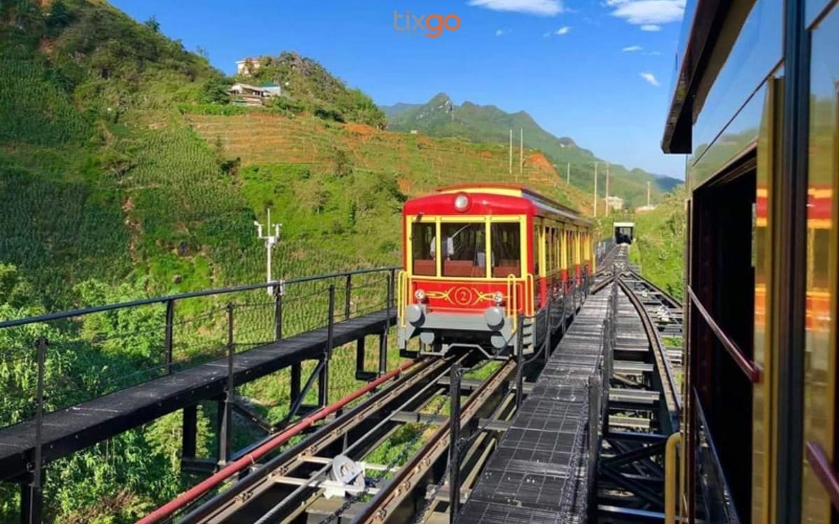 16
16Sun Plaza → Muong Hoa station · Funicular
Muong Hoa funicular
A ride of about 6 minutes from the station inside Sun Plaza to the Fansipan cable car station, through tunnels and over viaducts above Muong Hoa Valley.
Directions & photo spots →The map is an illustration and not to scale. Distances are by road from Sun Plaza (OpenStreetMap data).