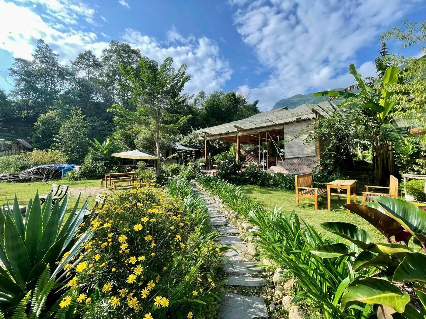
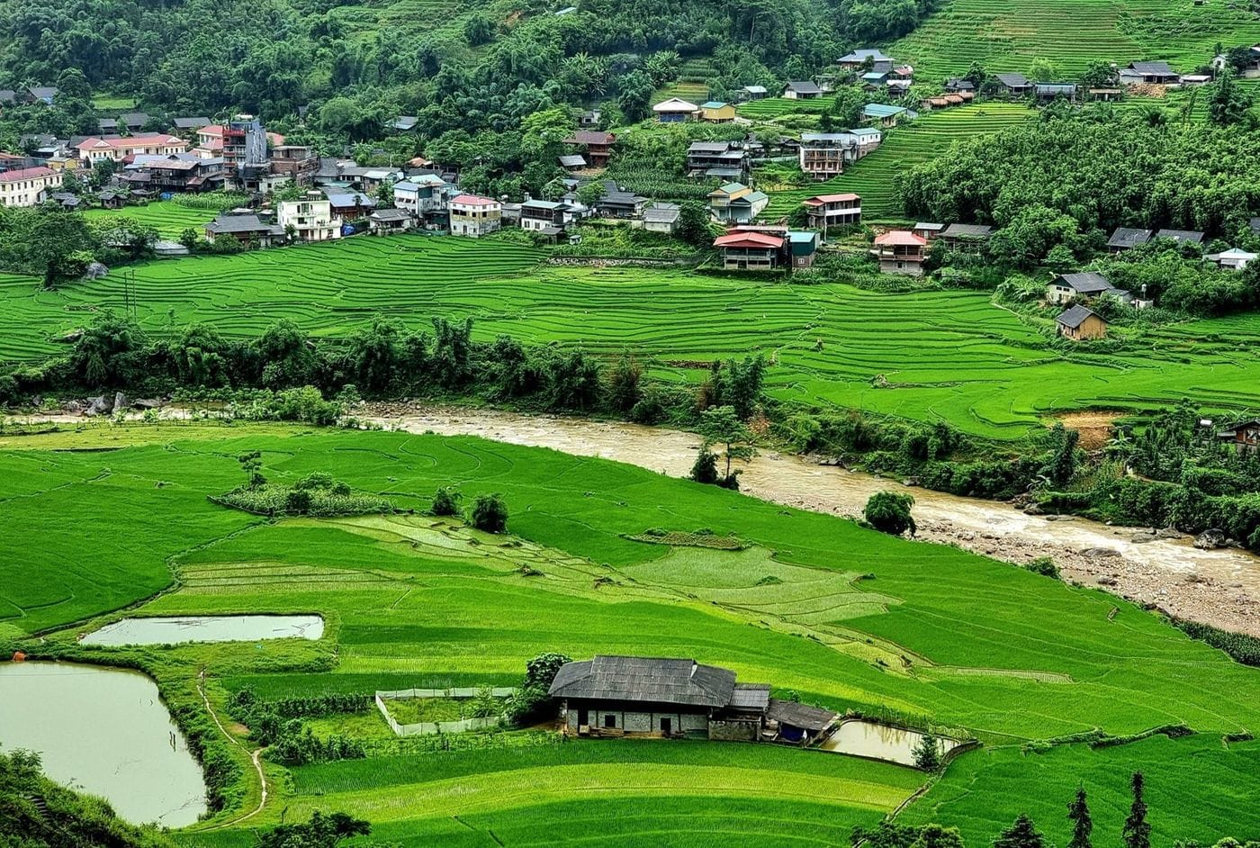
Ta Van is a Giay village strung along the Muong Hoa stream, just past Lao Chai. It has more homestays than anywhere else in the valley, so most one-day trekkers stop here for lunch or stay the night.
Overview
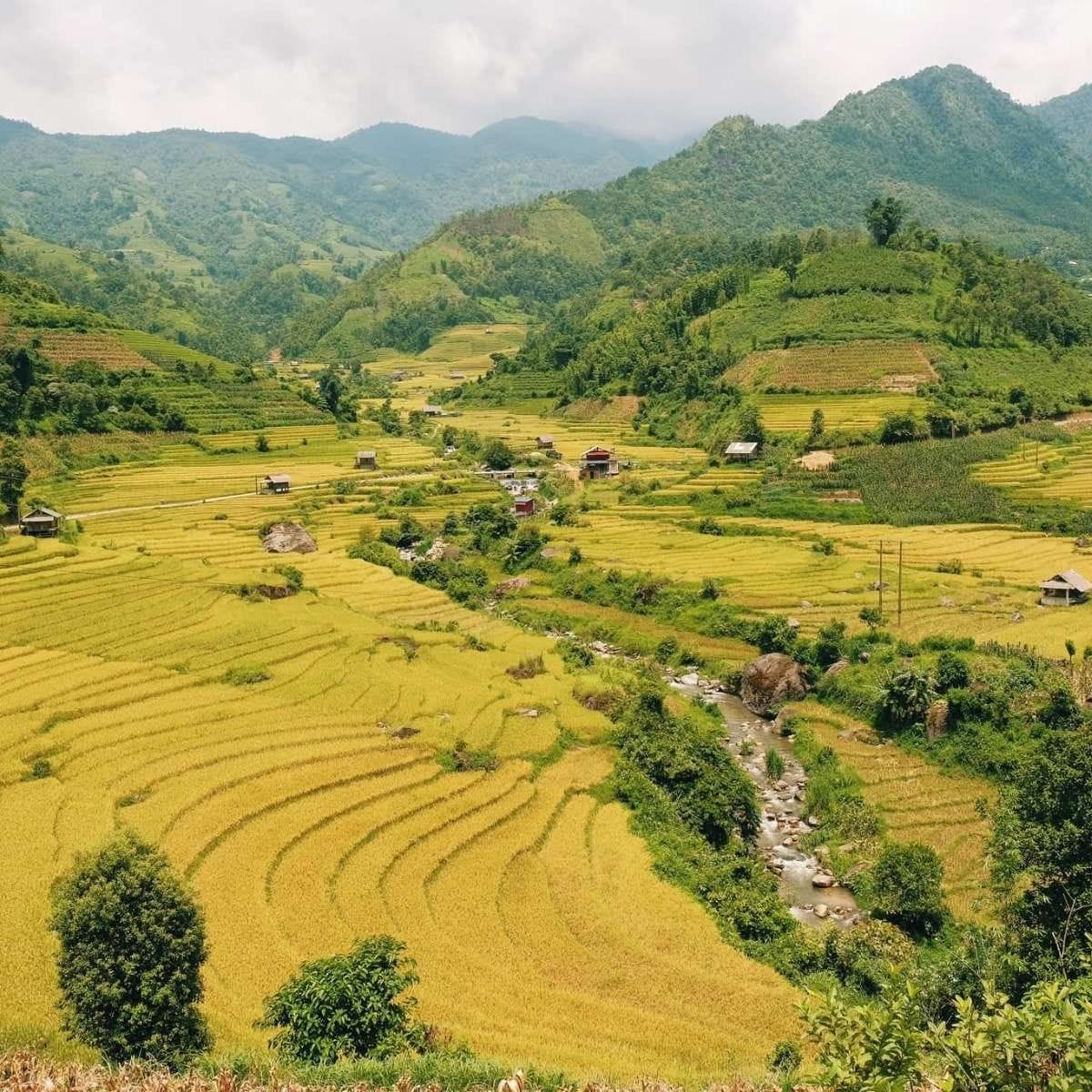
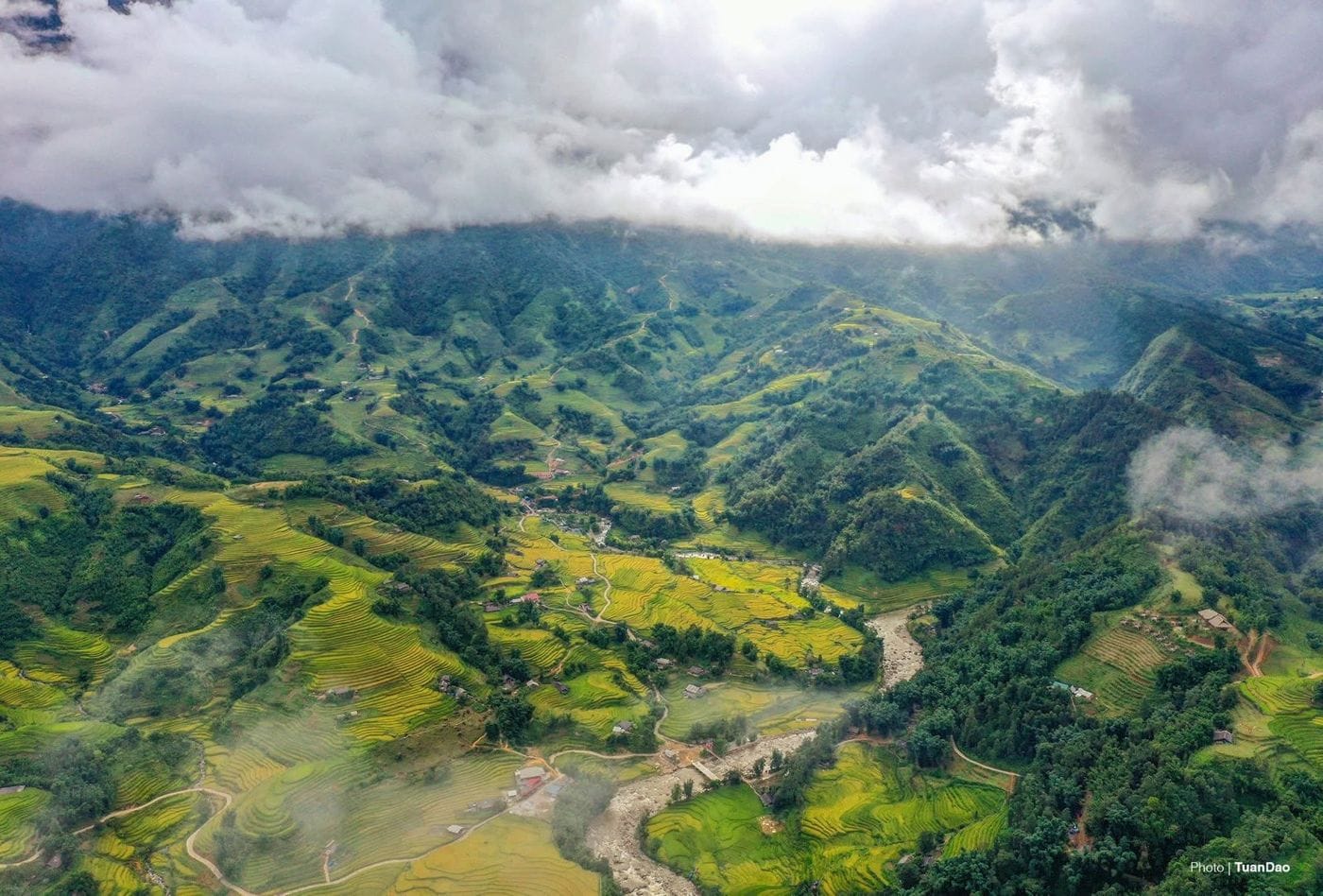
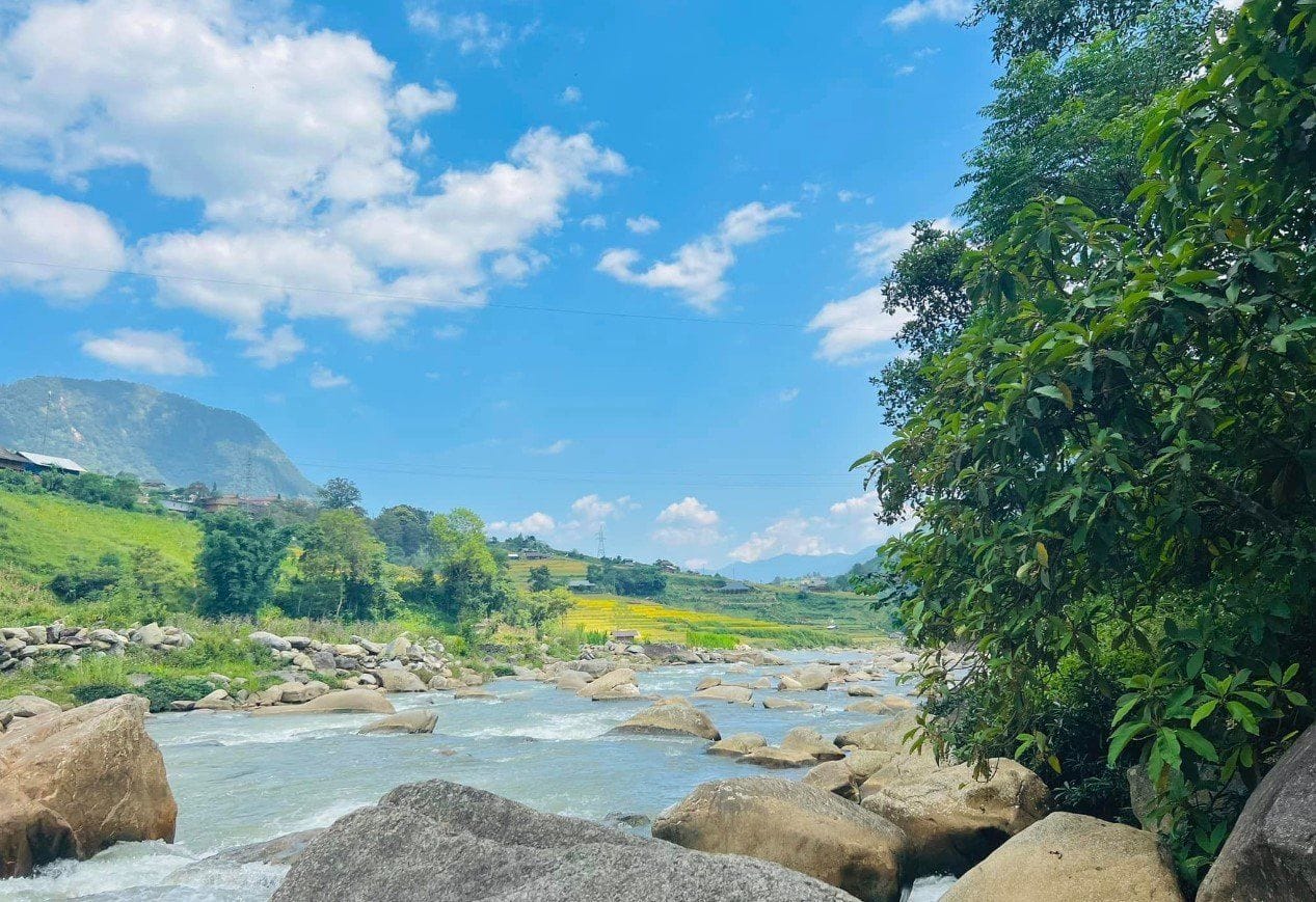
Ta Van is only about 2 km from the Black Hmong village of Lao Chai, yet the houses, language and food are noticeably different. The village sits on the valley floor among rice terraces, with the Hoang Lien Son range behind it and the Muong Hoa stream in front. Besides the Giay, Hmong and Dao families also live in the commune.
In July 2025 the South China Morning Post listed Ta Van among six of Asia's most beautiful villages (as reported by VnExpress).
History & culture
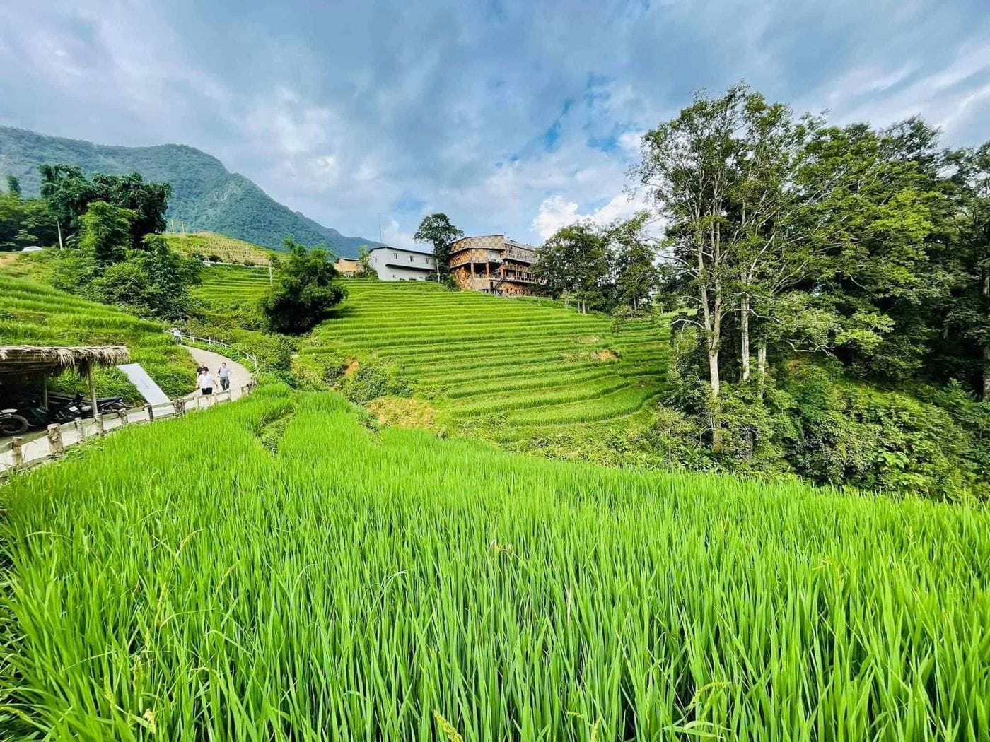
The Giay belong to the Tay–Thai language group and grow wet rice, hence the flat land by the stream. Every year on the Dragon day of the first lunar month, the Giay of Ta Van hold Roong Pooc, the going-to-the-fields festival, with ball-throwing, tug-of-war and the first ploughing of the year. It was added to Vietnam's national list of intangible cultural heritage in 2013.
On the path from Lao Chai lies the Sapa ancient rock field: around 200 engraved boulders scattered over roughly 8 km² of the valley floor, showing terraces, paths and human figures. Victor Goloubev of the École française d'Extrême-Orient began studying the site in 1925; it became a national monument in 1994, and the carvings remain undeciphered.
Getting there
Ta Van is about 10.5 km by road from Sun Plaza, downhill into the valley all the way – roughly half an hour by vehicle.
- On foot from Lao Chai: about 2 km along the stream on a clear path with phone signal.
- On foot from town: Sapa → Cat Cat → Y Linh Ho → Lao Chai → Ta Van, about 11.4 km in total; allow a full day.
- Motorbike / taxi: use a low gear on the long descent; with a taxi, agree a return time and pick-up point, because cars are hard to find in the village.
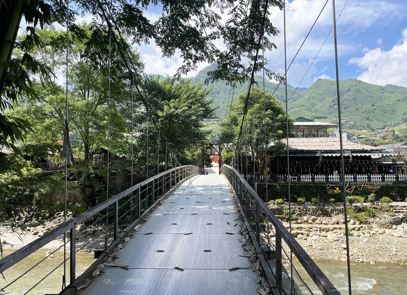
Photo spots & things to do
- Ta Van suspension bridge: crosses the Muong Hoa stream; the best angle is from the far bank.
- Sapa ancient rock field: allow at least 45 minutes and shoot in low-angled light so the grooves cast shadows. Do not climb on the stones.
- Giang Ta Chai: a Red Dao hamlet on the opposite slope, 2.8 km further and the steepest part of the day. Bamboo forest, a waterfall, and a full view back over Ta Van.
Best time to visit
- May–June: water-pouring season.
- July–August: green rice; wettest months, slippery paths.
- September: golden rice – the busiest month, so book your homestay early.
- October–December: autumn, sunny, dry and clear – the easiest walking.
- December–March: cloud-hunting season, cold and often misty.
Reference costs
Reference only – check before you go:
- Homestay lunch: about 100,000–200,000 VND per person (Sapa Paragliding's own trekking guide).
- Homestay beds: dorm beds from about 200,000 VND per person per night, double rooms from about 700,000 VND (VnExpress, August 2026).
- Motorbike rental: about 100,000–200,000 VND depending on the bike (VnExpress, August 2026).
- Village entrance fee: may be collected at the entrance; carry small cash and ask on the spot.
Tips & safety
- Wear shoes with grip; paddy paths are slippery after rain.
- Ask before taking portraits of local people.
- A guide is not essential, but a local one adds a great deal at the rock field.
- With children under 10, keep to the short Lao Chai – Ta Van walk and skip the climb to Giang Ta Chai.
Combine it in a day
Ta Van sits in the middle of the valley's chain of stops: Cat Cat and Lao Chai above it, Giang Ta Chai and then Ban Ho below (another 11.9 km on foot, best left for a second day). With a motorbike and clear weather you can also ride about 12 km up a steep road to Seo My Ty Lake.
Add a paragliding flight
Sapa Paragliding lands beside Lao Chai bridge, about 2 km on foot from Ta Van. Fly in the morning, when the air is usually calmer, then unclip and walk straight on to Ta Van for lunch – no need to go back to town.
The whole flight package takes about 90 minutes, which still leaves the afternoon for Giang Ta Chai.
Quick questions
How far is Ta Van from Sapa?
About 10.5 km by road from Sun Plaza, roughly half an hour by vehicle.
How long should I spend in Ta Van?
Half a day covers the village, the ancient rock field and lunch. Stay overnight if you want to continue to Giang Ta Chai or Ban Ho.
Do I need a guide for Ta Van?
Not for the Lao Chai – Ta Van section, where the path is clear and there is phone signal. Take one for the onward walk to Ban Ho.
When is Ta Van at its best?
September (golden rice) and May–June (water-pouring season) are the most photogenic; October–December is dry and clear, the easiest time for walking.
More photos