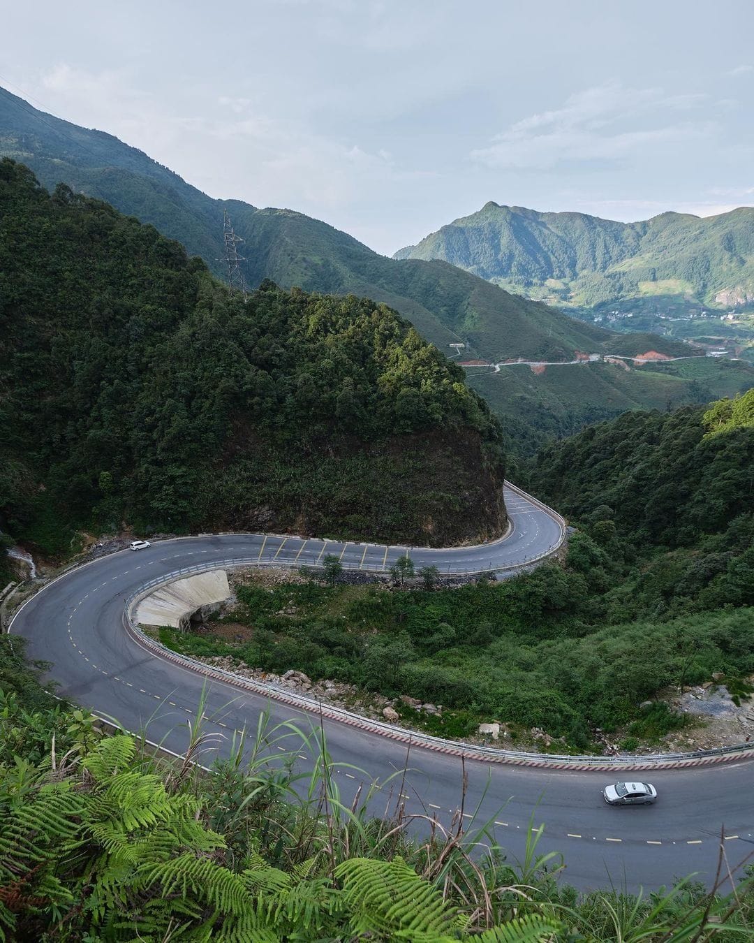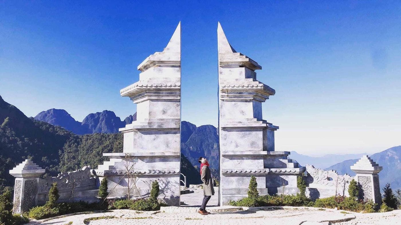
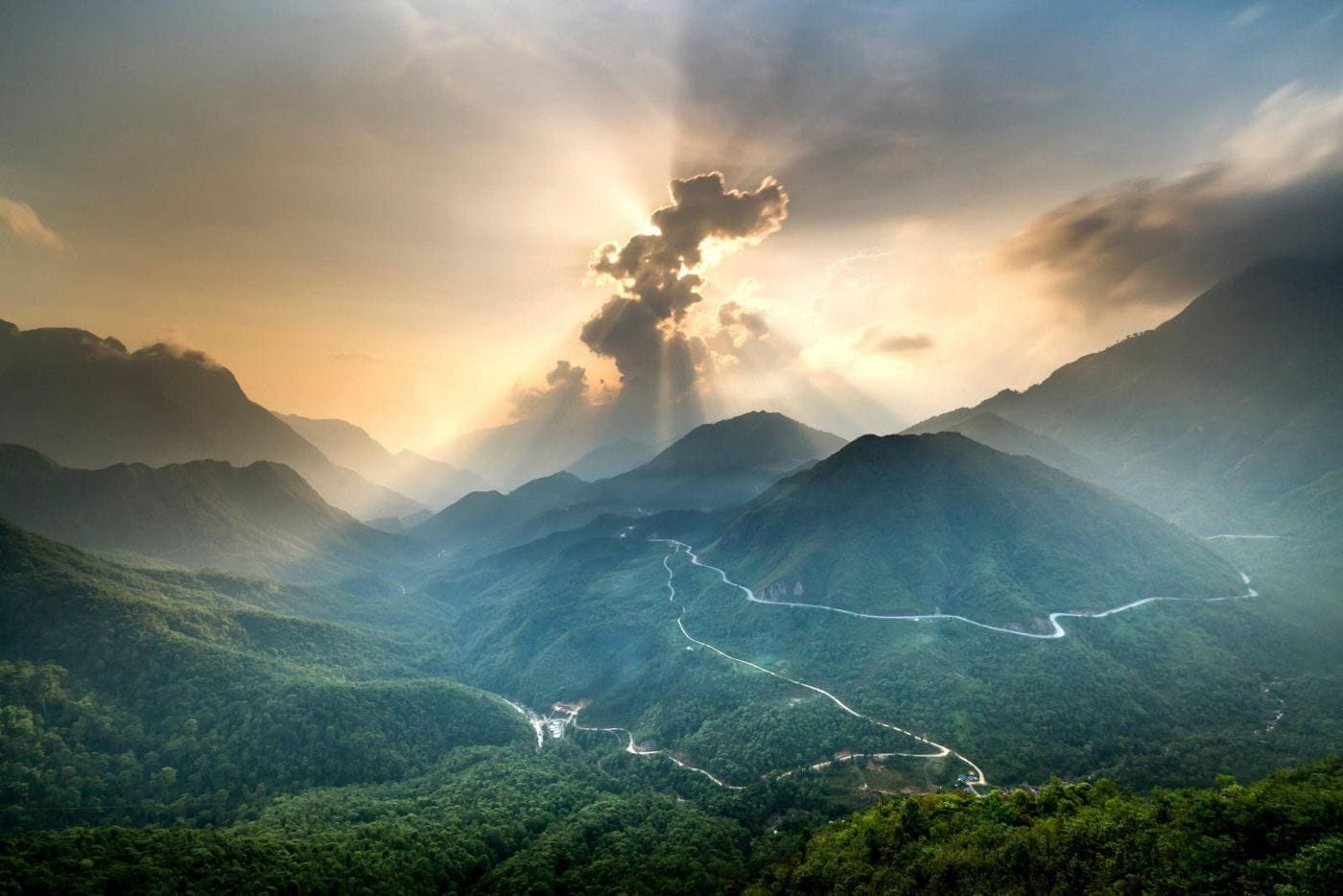
O Quy Ho lies on road QL4D, crossing the Hoang Lien Son range between Lao Cai and Lai Chau, and is usually counted among northern Vietnam's "four great passes". Heaven's Gate, at the top of the pass at around 2,000 m, is where the road opens onto a wide mountain view and the hairpins dropping towards Lai Chau.
Overview
O Quy Ho Pass is nearly 50 km long, roughly two thirds on the Lai Chau side and one third on the Sapa side. That is longer than Pha Din and Khau Pha, which is why riders call it the "king of passes" in the Northwest; together with Ma Pi Leng, these make up the "four great passes".
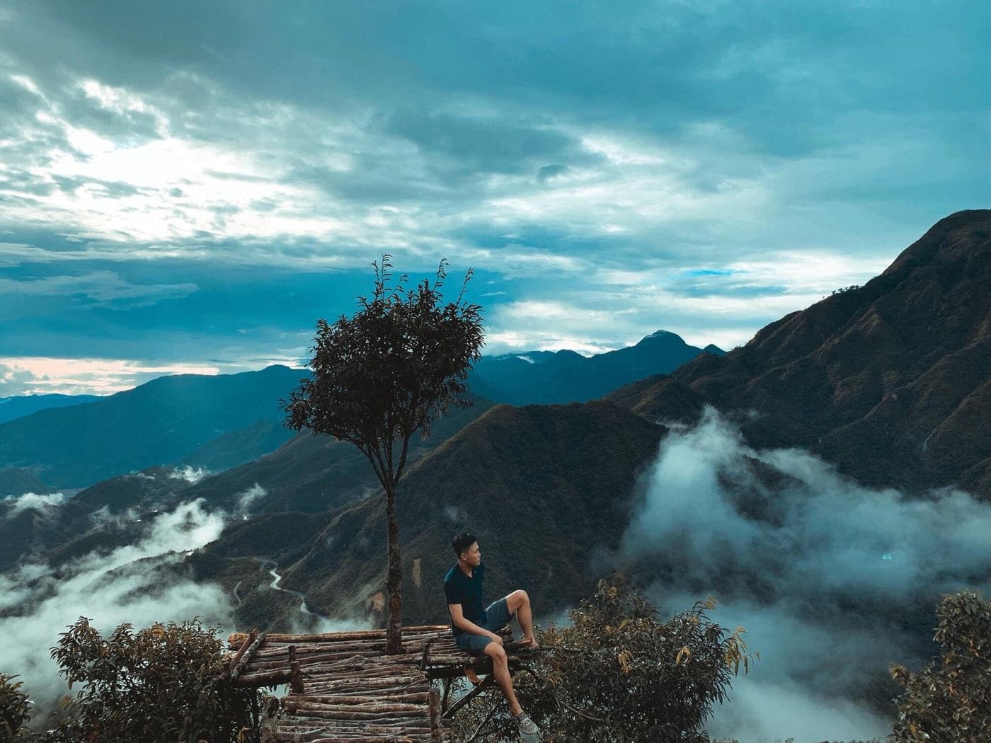
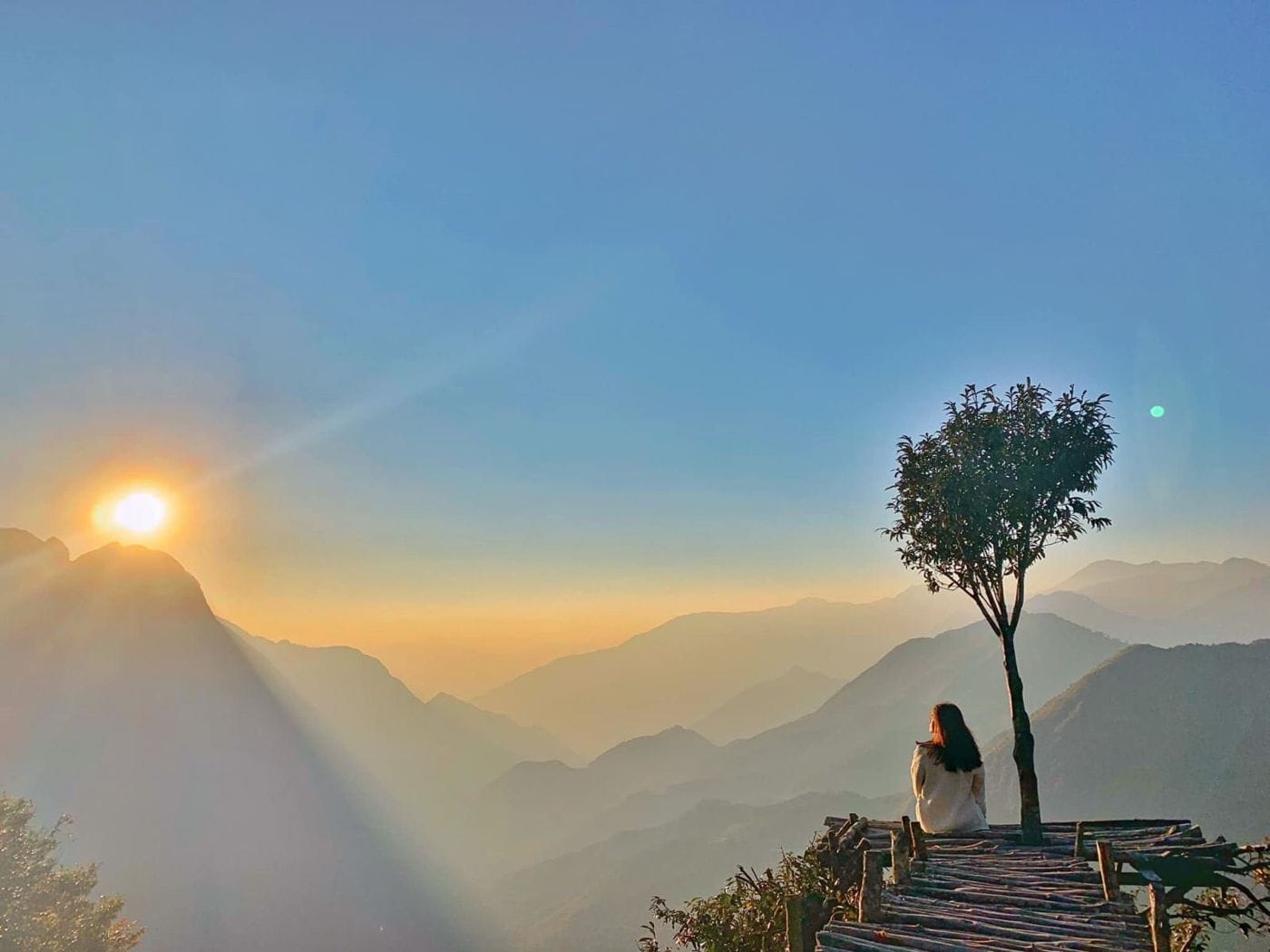
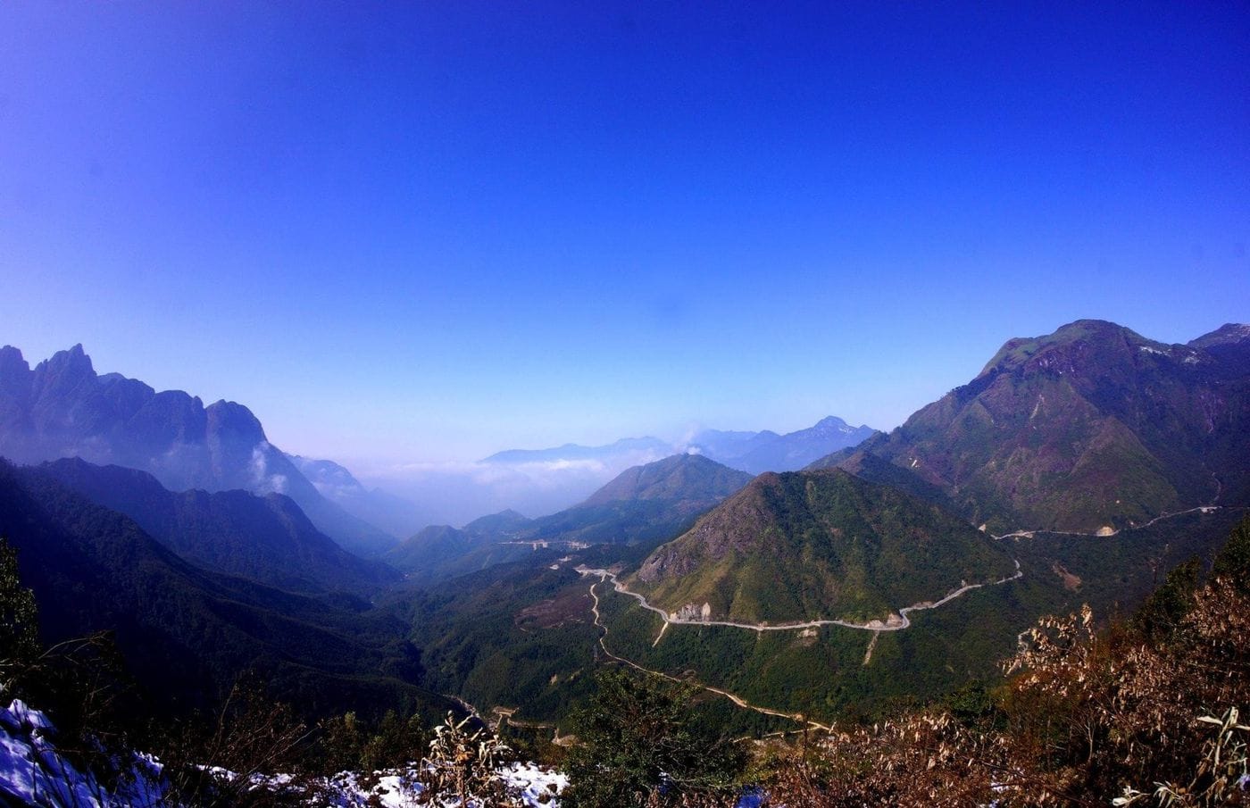
From Heaven's Gate the road looks like a ribbon wound around the slopes, with layer after layer of the Hoang Lien Son range behind. Late in the day the sun sets over the Lai Chau side; early in the morning or after rain, clouds can fill the valley below.
The name and its stories
The pass is named after O Quy Ho village beside QL4D on the Sapa side, a name of Hmong origin. It is also called Hoang Lien Son Pass, or Cloud Pass because the top is wrapped in cloud for much of the year; on maps, the summit section is Tram Ton Pass.
Folklore tells it differently: "o quy ho" is the plaintive call of a bird at dusk, tied to the unfulfilled love of a young couple.
Getting there
From Sun Plaza, follow QL4D towards Lai Chau for about 17.3 km – a little over half an hour at an easy pace. On the way you pass:
- Silver Waterfall: about 14.4 km.
- Love Waterfall: about 16.4 km.
- Tram Ton: about 17.2 km – a Hoang Lien National Park ranger station and the trailhead for the Fansipan hike.
- Heaven's Gate: about 17.3 km; Rong May Glass Bridge is further on, about 20.4 km.
- Motorbike / taxi: riding yourself is fine if you know steep mountain roads; with a taxi, agree in advance that the driver waits, as rides back are very hard to find.
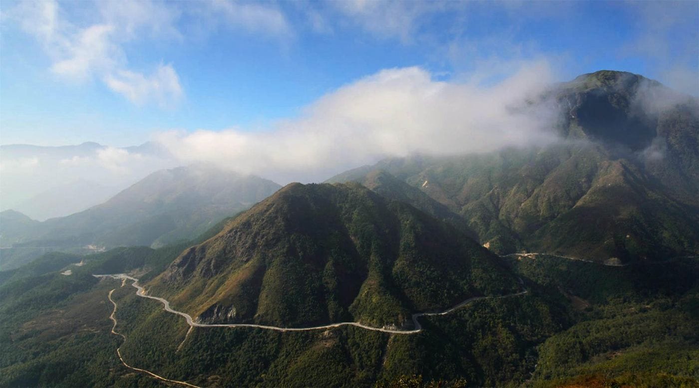
Photo spots and things to do
- Heaven's Gate: the whole pass and the hairpins on the Lai Chau side.
- Tram Ton: the forest gate of Hoang Lien, where Fansipan (3,143 m) trekking groups set off at about 1,900 m.
- Sunset: arrive early to pick your spot before the sun goes down.
- Sea of clouds: most likely in cloud-hunting season, December to March.
When to go
Heaven's Gate splits the pass into two climates: in winter the Sapa side is foggy with a biting wind while the Lai Chau side stays mild; in summer it flips, cool on the Sapa side and hot and dry towards Lai Chau.
- October–December: sunny, dry and clear – your best odds of a great sunset.
- December–March: cloud-hunting season; hard cold snaps can bring frost and occasionally snow.
- May–August: rainy season, with fast-rising fog and slippery tarmac.
Tips and safety
- It is far windier and colder on the pass than in town: bring a warm jacket, even in summer.
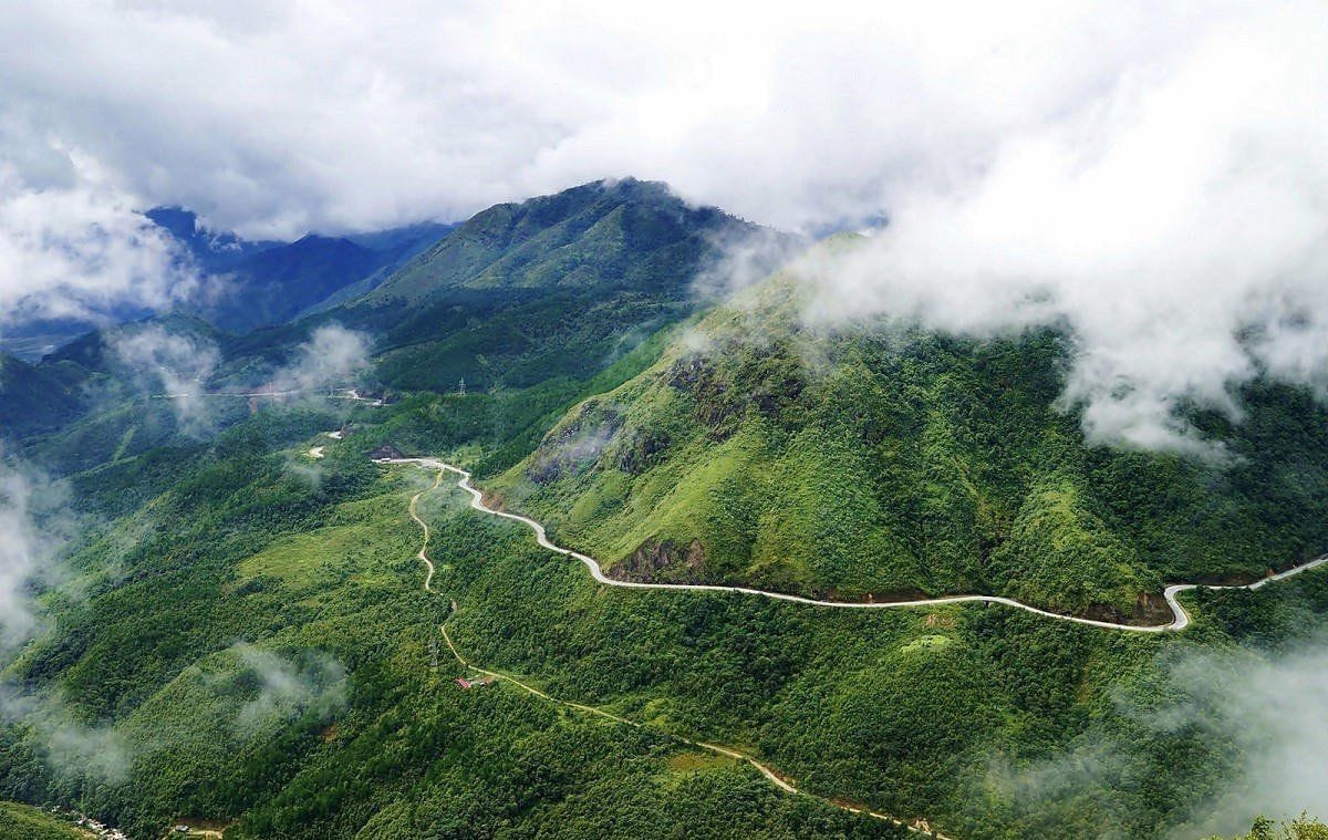
- Fog can roll in very quickly and cut visibility to a few metres; lights on, slow down, and never stop on a bend.
- It gets dark fast after sunset; check your lights and brakes before heading down.
- Stopping for the view and at roadside cafés is usually free; privately run photo spots may charge a small fee.
Combine in one day
O Quy Ho is the natural end of a QL4D outing: stop at Silver Waterfall and Love Waterfall on the way up, then finish with sunset at Heaven's Gate. If you also want Rong May Glass Bridge (about 3 km further towards Lai Chau), leave in the early afternoon so you arrive well within opening hours.
Pairing with paragliding
O Quy Ho is north-west of town, while the flight takes place over Muong Hoa Valley: take-off at Hang Da village (1,500 m), landing beside Lao Chai bridge. They are not on the same route, but they fit neatly into one day: fly in the morning, when the air is usually smoother, then drive up the pass for sunset.
For advice on flight slots, message Sapa Paragliding on hotline/WhatsApp/Zalo +84 386 887 489.
Quick questions
How far is O Quy Ho Pass from Sapa?
Heaven's Gate at the top is about 17.3 km from Sun Plaza along QL4D, a little over half an hour at an easy pace. The whole pass is nearly 50 km long, most of it on the Lai Chau side.
When is the best time for sunset and clouds?
Sunsets are most reliable from October to December, when it is sunny, dry and clear. Seas of cloud are most likely from December to March, early in the morning or after rain.
Is it safe to ride a motorbike up the pass?
Yes, if you are used to mountain roads: the surface is good, but there are many bends, fog arrives fast and darkness falls early. If you are unsure, hire a car with a driver and ask them to wait.
More photos